Fourth Field Trip
March 6th, 2024
Introduction
On March 6th 2024, students from the Environmental Geology class at Vancouver Island University visited a parcel of land at 2229 Boxwood Road, in Nanaimo (B.C), with the goal of collecting observations to complete a Phase I environmental assessment report . During the fieldwork portion of the project, the daily temperature was 4 ℃ and cloudy . The group was supervised by Professor Tim Stokes and environmental scientist Roxanne Croxall (employed by Tetra Tech Canada Inc.) to learn more about restoration activities undertaken at the location. Two days before this field trip, on March 4th 2024, Roxanne Croxall gave a short presentation about the purpose of environmental assessment report to the Environmental Geology class. On that day, the class was split in groups and each of those completed part of a Phase I Environmental Assessment template for the 2229 Boxwood Road location by doing online research and interviewing Roxanne.
This project is an introduction to Phase I Environmental Site Assessments (ESAs) which is a relatively standard environmental practice in BC when examining sites that may or may not have contamination issues and/or have been identified for development. Those reports are a starting point for any contaminated site investigation which is a historical data gathering process and includes a brief reconnaissance field visit. Usually those reports determine the next stages to plan remediation future activities.
Background
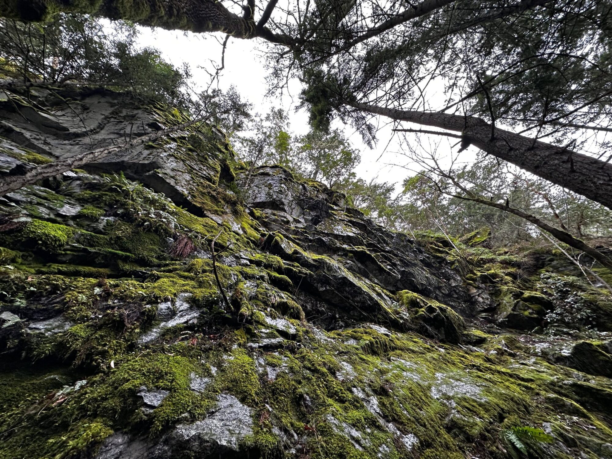
The regional topography where the property is located, slopes gently downward to the northwest. Precipitation obtained from Environment Canada for the period 1981 through 2010, using Nanaimo City Yard station, recorded averages annual rainfall of 1099.6 mm, annual snowfall of 40.7 cm, and annual precipitation of 1140.4 mm. The soil geology of the property area consists of sand fill, gravelly, with some mine waste inclusions. The detailed well records obtained described the soils in the area of the property to contain greater than 20% cobbles, 25 cm of stones at the surface, and coarse fragments content ( 20 to 50%). The soil is capped by less than 50 cm of loamy textured material, imperfectly drained, has weakly cemented horizons and is limited by low nutrients content and low water-holding capacity.
The property does not have an aquifer directly below its surface, and also has no surface water bodies. However, aquifers 167 and 211 can be located to the southwest of the property. Aquifer 167 is a confined sand and gravel unit of glacial origin, most likely set in Quadra Sand. It has low vulnerability, and its well density has moderate productivity rates. Aquifer 167 overlies aquifer 211 which is set within fractured Triassic basalts. Should there be contamination at the property, aquifer 211 is at higher risk than aquifer 167 based on its limited catchment zone, low productivity, and higher well density. The possibility of the property to contaminate aquifer 211 should be taken seriously, as this aquifer contains 388 wells.
Local groundwater flow is inferred to flow to the East following local topography towards East. Subsurface structures, such as catch basins, drainage systems, and underground service trenches in the area may influence the local groundwater flow direction. Activities on sites located upstream of the property have the potential to contaminate the sediments of water bodies that cross through or are adjacent to it. Additionally, contaminants may be transported to the water bodies by overland surface flow and groundwater infiltration. If contaminants enter the system, it could negatively impact the soil and its vapour, the groundwater, and/or its sediments. The nearest surface water body is approximately 337m southeast of the property.
Notes and Observations
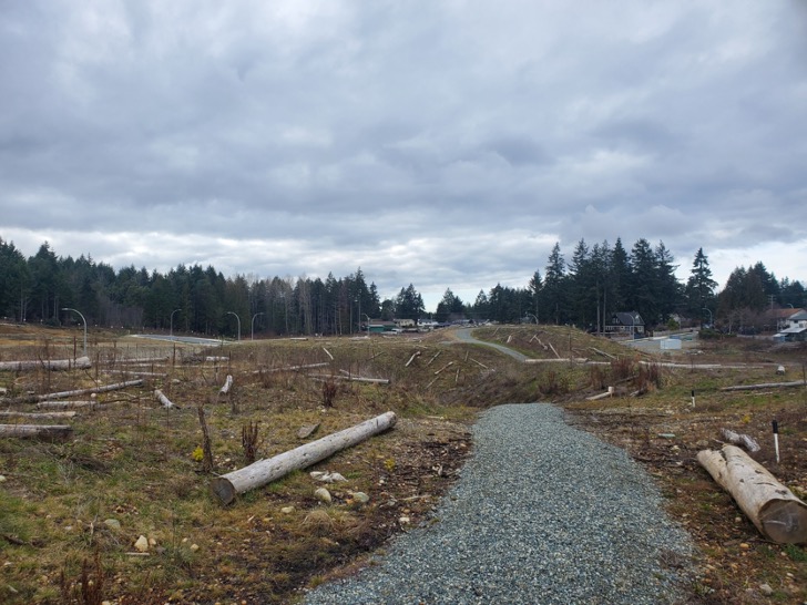
At the property construction debris overlies mine waste which is mainly coal waste. Mine waste is the discarded rock overburden during previous coal mining operations and at the site the mine waste volume is 32 000 m3. Soil samples locations were selected using cottonwood as an indicator for soil disturbances. The soil samples were collected from coal waste, and the site tested for heavy metals. The main concern from the results of those samples are high levels of heavy metals such as chromium and arsenic, with the red pink shale having the greatest concentration of arsenic. Additionally, iron, manganese and lithium were found in groundwater (at high concentrations all of those can have negative health impact on humans).
A performance verification recommend a cap of 1 meter of uncontaminated soil on the hills of the site. The forest on the property needs a permit to cut more trees, groundwater wells cannot be installed, restrictions on garden is recommended and residential drinking water is safe where the site is excavated. A shaft capped with concrete and a grid from previous coal mining is located on the property. Dry cleaning products were previously dumped on the property, the site is a former coal mine site, and along with coal mining wastes the site has construction wastes such as pipes. The location of the old lake and two mine portals have a high likelihood of containing mine and construction wastes.
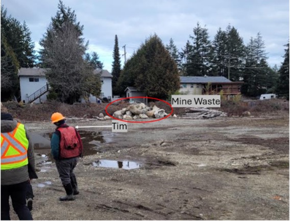
Figure 1. Mine waste at the property.
Conclusion and Recommendations
Further testing for leaching and chemicals contaminants of the coal waste is recommended to determine the next stage of remediation of the property. This will need to be remediated by digging out and removing the stockpiles of coal. Any large construction debris will need to be removed and disposed at regulated facilities. Any areas that cannot be cleaned up will have strict regulations for usage so that the contamination does not impact residential areas. Chemicals that are of major concern are high levels of arsenic, chromium, lead, mercury, benzene, and cadmium. Contaminated soil will need to be removed from future development sites and the area will need to be capped with 1 m of uncontaminated soil. Soils with light potential for contamination must never be used to access drinking water or growing vegetables. Consistent monitoring of water and soil must be conducted to reduce leaching from the waste.