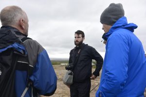
Today we got a late start to our day as Tim made an early run to Reykjavik to pick up our long lost comrade Aaron Doan, who missed his connecting flight in Edmonton due to heavy fog. After a brief safety discussion and reconfirming our route for the day we headed off to explore the wonders of the Golden Triangle of Iceland.
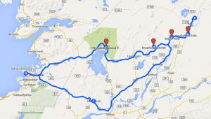
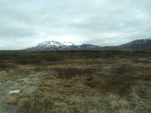
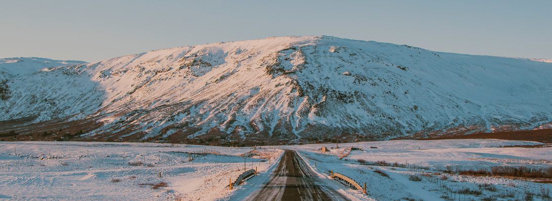
Leaving our hostel at Selfoss we headed north to Thingvellir National Park. On the way we took in the beauty of the area by observing Iceland’s largest lake (Thingvallavatn Lake) and views of lowland basaltic lava flows flanked by snow capped mountains. Upon reaching our first destination, Thingvellir National Park we managed to find some free parking on a gravel side road where we proceeded to hike into the southern section of an area referred to as the Western Rift Zone. It’s hard to believe the geologic time scale we are looking at with the formation of these rocks as they are considerably younger than the Karmutsen basalt we are used to seeing on Vancouver Island. The geologic unit of this section of the rift is considered to be part of the Holocene, a post glacial prehistoric era greater than 871 AD in age.
Stop 1: Thingvellir National Park
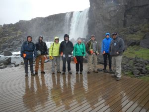
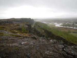
From the waterfall we walked south about half a kilometre to get a bird’s eye view of the entire rift zone in order to fully appreciate the enormity of this structure. The overall width of this rift zone is approximately 15 kilometres wide, west to east.
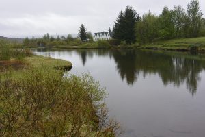
Thingvellir National Park is also a site of historical and cultural significance. Icelandic settlers established a farming community in this area as well as set up a judicial system in 930 AD where problems were adjudicated among the settlers. Iceland claims this is where democracy was first born , however we think the Greeks might have something to say about this… In 1262 AD the Norwegian King took control of Iceland and introduced Christianity to Icelanders. This church at Thingvellir was established in 1867 and was operated until 2016. Today it marks a historic site for the people that settled in this region.
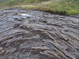
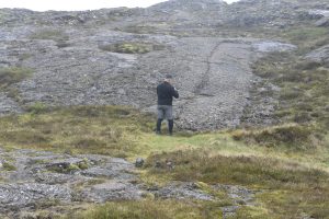
On our way back we got lost and ended up trekking through the rift valley where pa-hoe hoe lava flows were observed on trails that cut through thick moss beds and shrub brush.
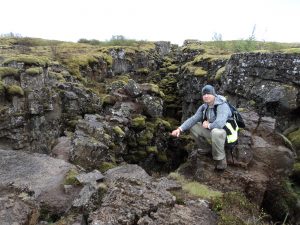
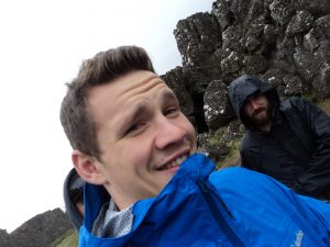
Part of getting lost is finding really cool formations. Here I’m sitting in a secondary rift zone where columnar basalt’s are observed to have formed in the center of the rift zone.After re-orienting ourselves we managed to find our van and head east to the the town of Geysir, a site of hydro-thermal activity where hot springs and geysers were observed.
Stop 2: Geysir and Strokkur
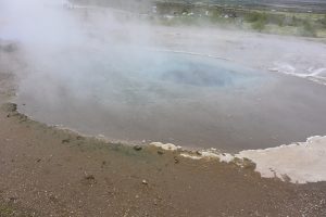
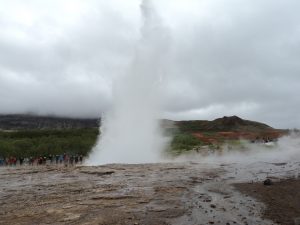
After spending some time admiring the hydrothermal springs and Geysir Strokkur we decided to continue to the east.
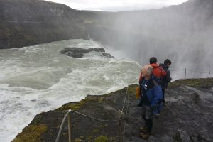
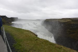
Stop 3: Gullfoss
The falls of Gullfoss were impressive and much larger than we imagined. At one time the falls were to be leased for power generation but the deal fell through and ever since the area has been a protected park.
What we learned today was that the scale of the Western Rift Zone is locally very complex and not as simple to understand than it first appeared.
Hi Toby,
Thanks for the descriptive blog entry. Unfortunately I can’t see your photos – a formatting issue on your end? Or a problem with my mobile web browser? I can envision those columnar basalt and it makes me happy!
You’ve got some good descriptions of the surface waters of the Golden Triangle. Curious to know more about the relationship between the surface waters (and glaciers!?), volcanism and tectonics.
Best, Sandra.