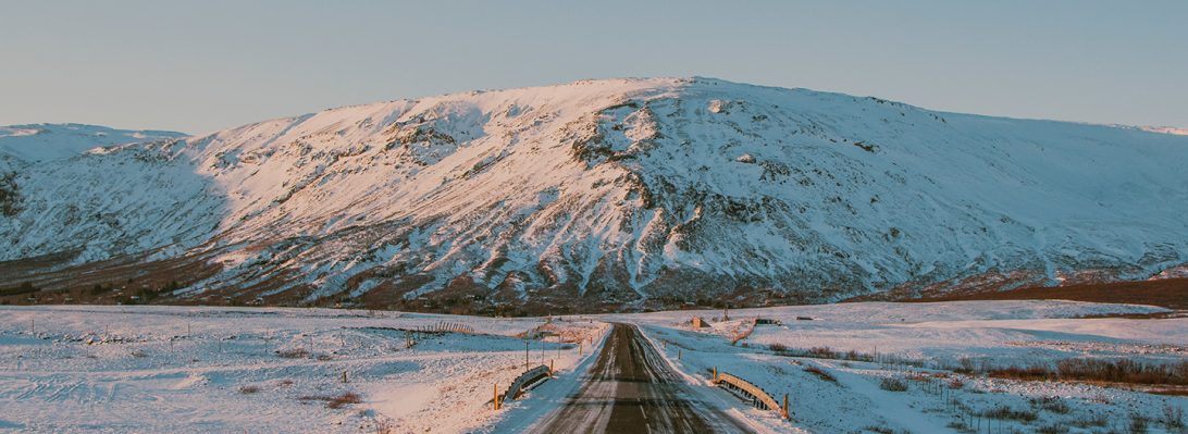
We began Day Five with high hopes for the weather – the skies were clear and there was no fog to be seen. Our plan for the day was to travel from Vagnsstadir to Landeyjahöfn, where we would catch the ferry to Heimaey. We’d already done this drive once before on the way out to the east, but we still discovered new treasures along the way.
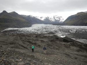
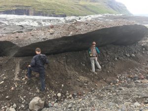
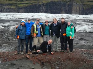
The first stop was at Svínafellsjökull, a small glacier off of the much larger Vatnajökull ice sheet. We parked the van (we’re still voting on nicknames) at a hotel near the highway and walked in on a well-groomed path. Our journey was about four kilometres round-trip and took us right to the edge of the glacier.
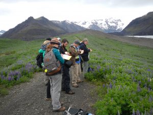
Extrusive rocks from the Tertiary period (older than 3.3 million years old) made up the mountains on either side of the glacier, which could be found as boulders, cobbles, and pebbles within the moraines.
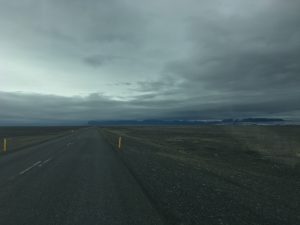
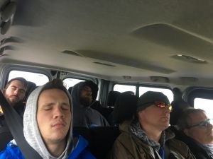
We continued our journey along the mother of all sandurs, Skeiðarársandur, whose straight roads and endless sand lulled the boys to sleep.
The further west we travelled, the worse the weather got. By the time we arrived at Dyrhólaey the wind was ruthless and the rain was coming down in sheets. However, as all geologists know, rain cannot keep the rocks away – or us away from the rocks! We unloaded and battled the wind to a lookout where we could see the black sand beaches and the sea stacks.
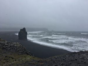
The bedrock of Dyrhólaey was deposited in the last 800,000 years as hyaloclastite and pillows lavas, with intercalated sediments. Holocene sediments create the beach and underly the lagoon nearby.
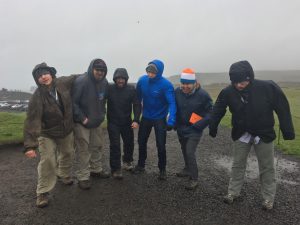
Due to stormy weather, cold hands, and having a non-4×4 vehicle (honestly, Tim’s driving had nothing to do with it) we could only view the sea arch from afar. We were not disappointed for long, as less than five minutes later we were blessed with a peculiar outcrop.
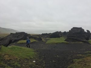
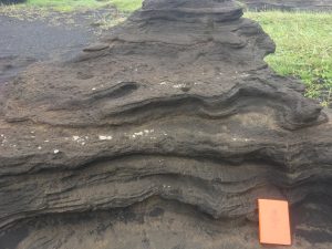
These ash deposits are very young in age (geologically speaking), known due to the fact that they’re still standing! The tuff shows extensive weathering and erosion by wind and meltwater. Soon enough the wind, rain, and geology students will have eroded the outcrop to sand.
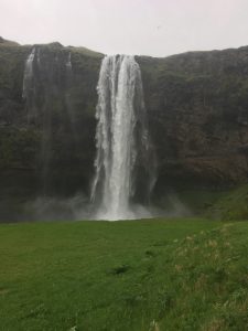
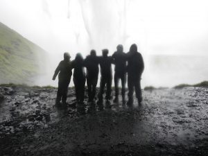
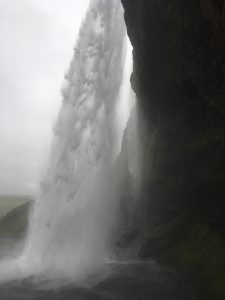
Our last stop before the ferry was Seljalandsfoss, a waterfall just off of Highway 1. This waterfall is one of kind – you can walk behind it and view the falls from all angles! Seljalandsfoss exists on interglacial and supraglacial lavas with intercalated sediments. The sediment layers behind the falls have been eroded away, creating the depression behind the waterfall that allows us to walk around behind. By the end of our visit with Seljalandsfoss we were all soaking wet, from both the rain and the water spray.
A bit tired, very wet, and ready for the next adventure, we boarded the ferry (nope, not BC Ferries) and arrived in the town of Heimaey, ready to rest and recuperate for the adventures of Day Six.
