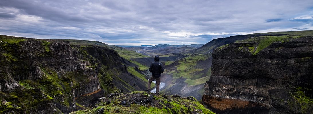
After rallying the students in Rekyavik, it was time to head south to the fresh volcanic landscape of the Reykjanes. Immediately upon leaving Reykavik, we were surrounded by rugged volcanic features ranging from 0.8 million years old to just 600 years old.
The first scheduled stop was at Lake Kleifarvatn, Iceland’s deepest lake. Although not visible without diving, there are geothermal vents at the bottom of the lake.
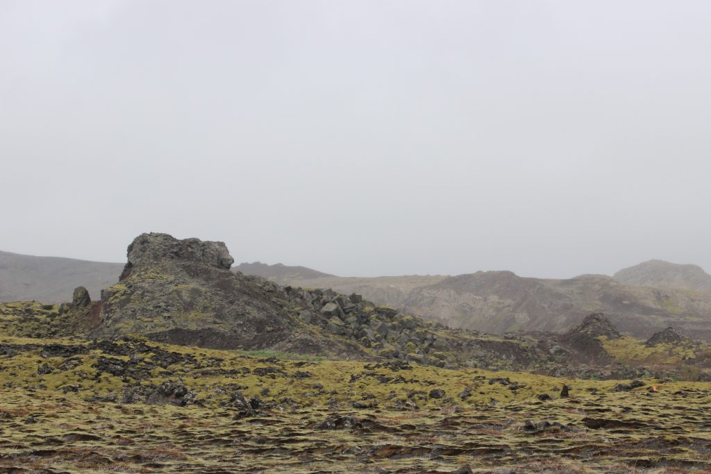
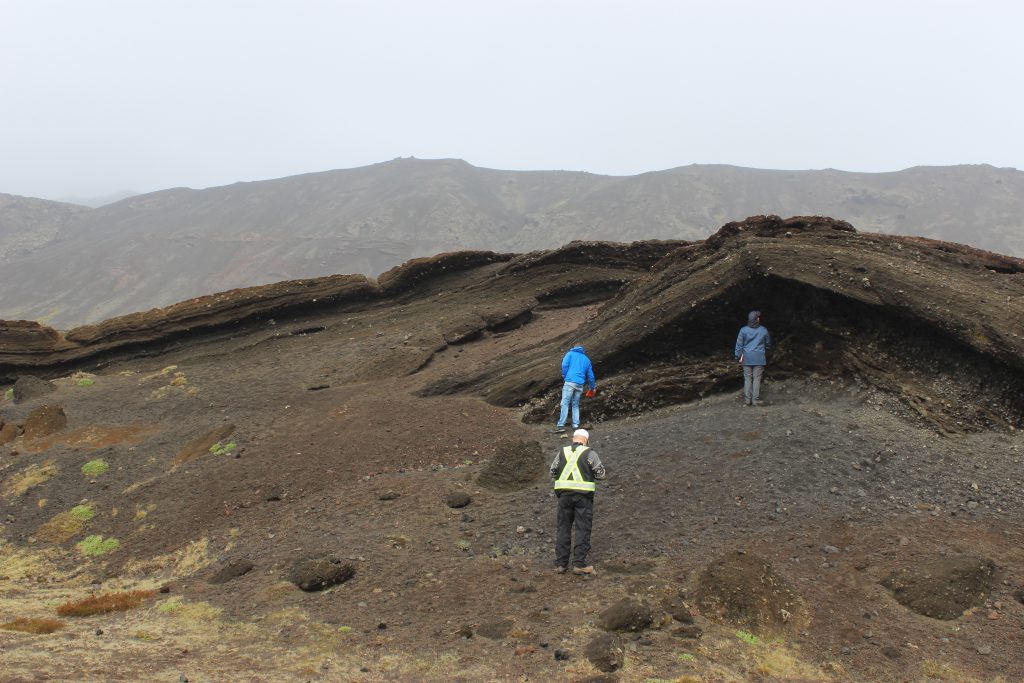
While the lake might transfix your average person, we immediately ran off to the west side of the lake to an outcrop of cemented volcanic ash with muddy layers.
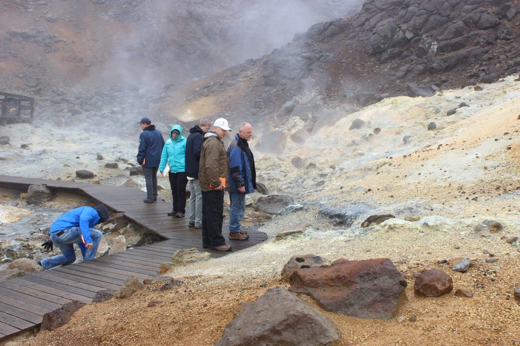
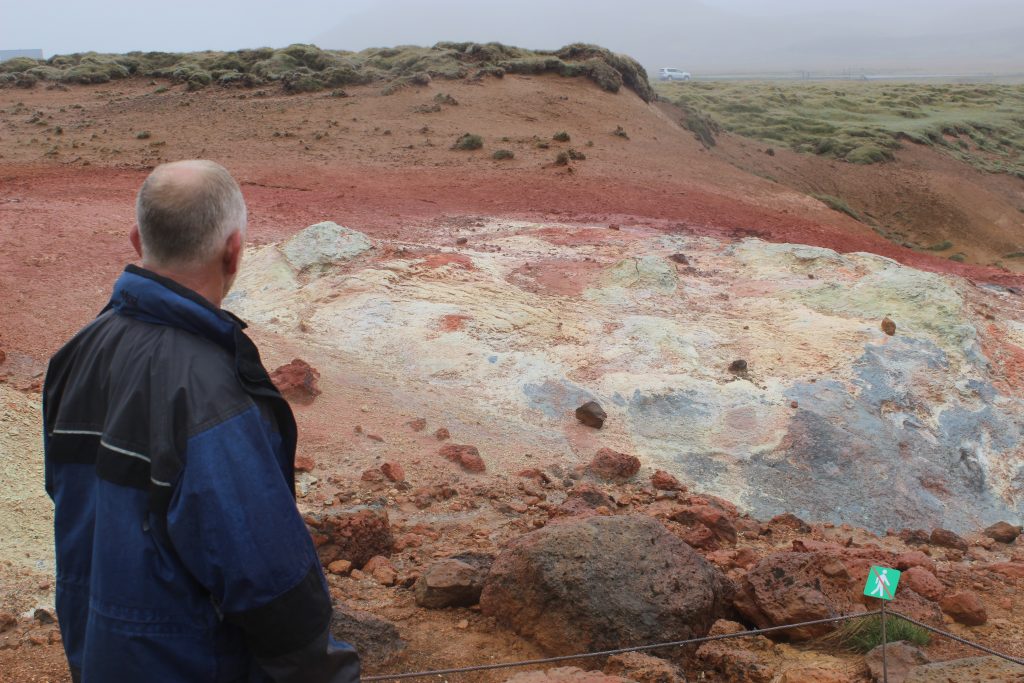
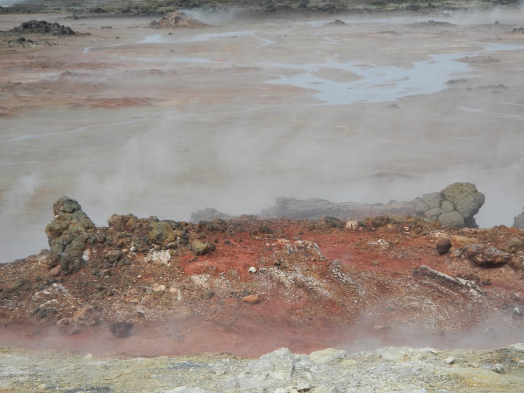
Further south, we observed the geothermal area of Krysuvic. This area featured radically altered landscapes due to the interaction of heat and water with the rocks. The heat and water have changed the appearance of the rock from black to a variety of vibrant colours such as yellow, white, red, and orange.
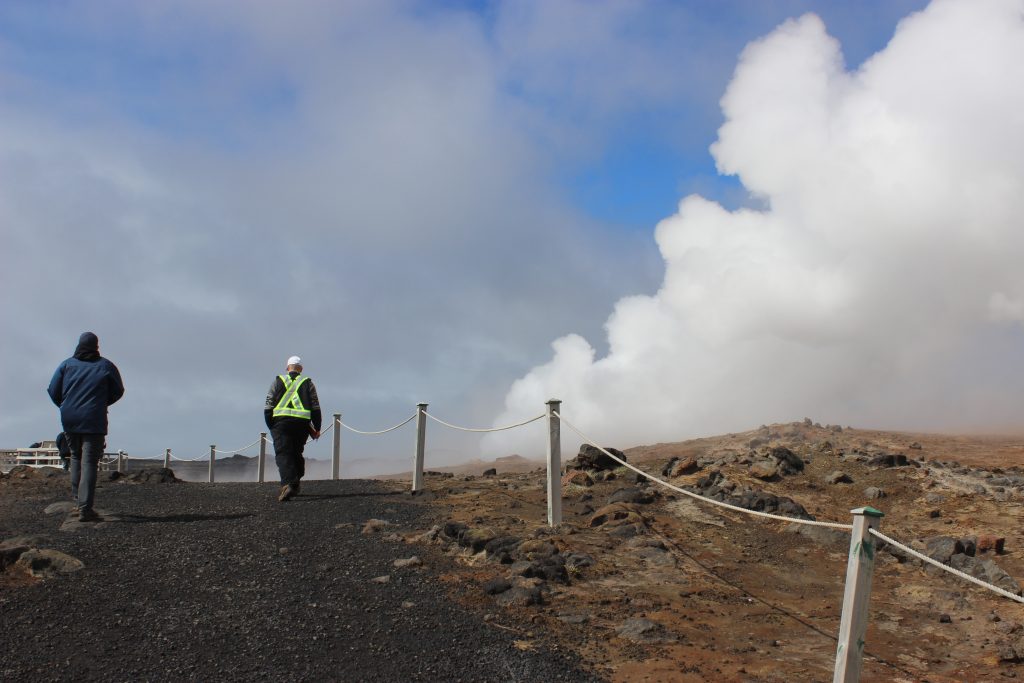
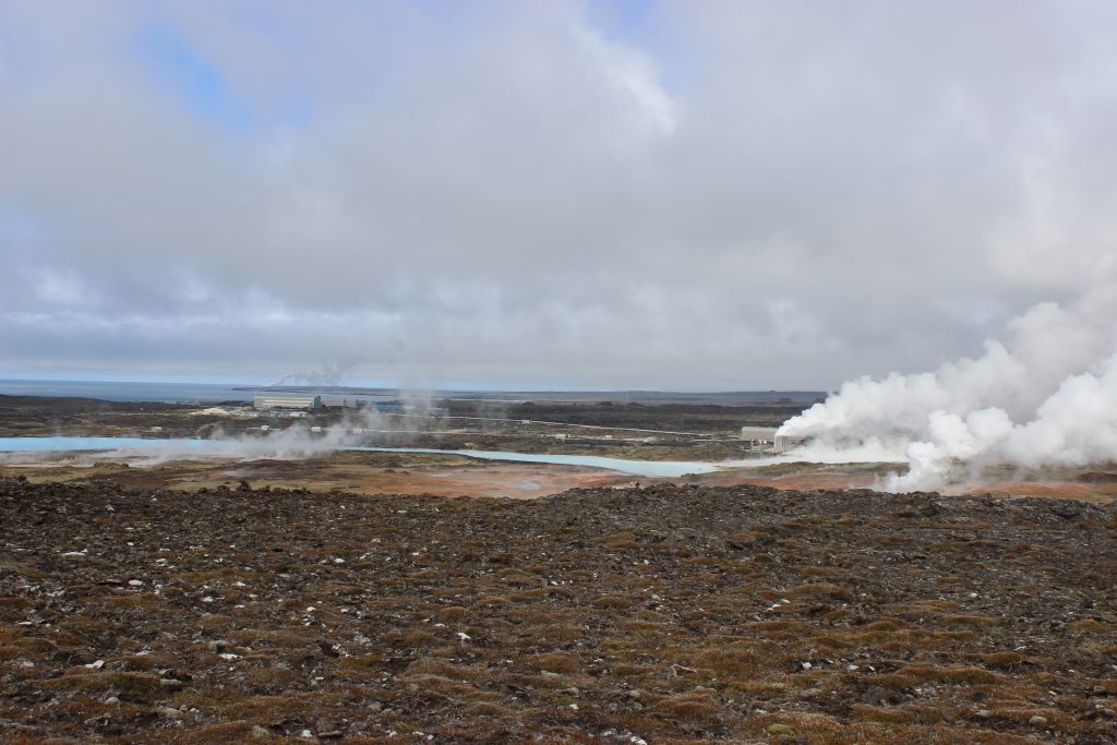
The group then carried on down the southern coast of the Reykjanes peninsula, eventually arriving at another geothermal site, called the Gunnuhver Hot Springs. This site is near a geothermal power plant where the steam is used to produce electricity for Iceland.
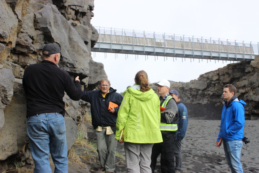
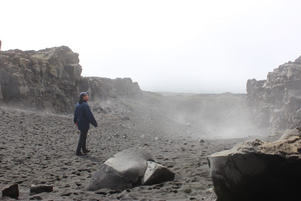
Our last stop for the day was the location of the spreading apart of the North American Tectonic Plate and the Eurasian Tectonic Plate. This is one of the few places where this spreading can be observed because the vast majority of the rift is located on the bottom of the ocean.
We then ended our day in the town of Selfoss, where we’ll begin our trip to the Golden Triangle tomorrow!